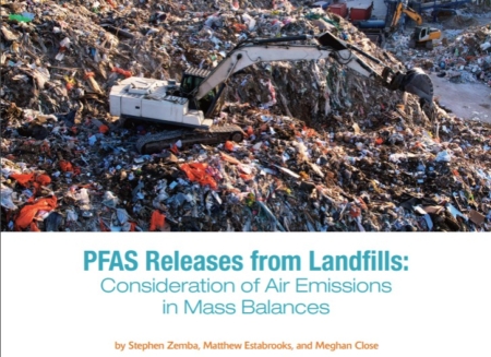
Modern landfill operations face unprecedented demands, from capacity constraints to tightening regulatory requirements. As the environmental landscape evolves, so too must the tools used to manage these facilities. Enter GPS technology—a transformative solution that brings real-time monitoring, enhanced efficiency, and streamlined compliance to landfill management.
But while GPS technology offers immense potential, its full benefits are only realized when paired with expert engineering insights. At Sanborn Head, we combine cutting-edge GPS capabilities with tailored engineering expertise to deliver solutions that optimize landfill management operations.
The Advantages of GPS Technology for Landfills
GPS has emerged as a game-changing tool in landfill management, addressing challenges such as limited space, compliance pressures, and operational inefficiencies. Below are key advantages that make GPS a must-have technology in today’s landfills:
- Improved Compaction, Fill Control, and Material Tracking
GPS systems enable real-time monitoring of compaction and fill levels, helping maximize waste density and improve airspace efficiency. Integrated material tracking also ensures uniform waste layers, further optimizing space usage and preventing inconsistencies. - Enhanced Route Planning and Equipment Efficiency
Engineers can design and plan roads that provide safe and efficient access across the landfill. GPS facilitates optimal transport routes for vehicles, ensuring reduced travel time, fuel consumption, and wear on equipment. By streamlining vehicle movements, GPS lowers operational costs and prolongs the lifespan of expensive machinery. - Streamlined Regulatory Compliance & Documentation
GPS systems offer landfill managers a comprehensive operational overview, making it easier to meet local and federal regulations. These systems provide detailed tracking of fill boundaries, compaction metrics, and material locations, simplifying the compliance reporting process. Receiving reliable, automated data reduces the risk of fines, improves confidence during inspections, and enhances overall compliance. - Slope Stability and Maintenance Planning
GPS-enabled aerial surveys, including drones, provide rapid assessments of landfill slopes to detect instability or erosion. Frequent monitoring streamlines maintenance planning, ensuring safety and efficiency in areas prone to erosion or other stability issues. - Capacity Forecasting and Long-Term Planning
Operators can use GPS data to anticipate landfill management activities and plan construction events, all of which help to allocate resources more effectively. Accurate GPS data helps landfill managers plan ahead by precisely forecasting capacity needs, ensuring operational goals align with long-term demands. Real-time insights support expansion planning and help maximize the landfill’s remaining usable life.
Maximizing GPS Effectiveness with Sanborn Head’s Expertise
While GPS technology is powerful, its true potential requires proper implementation, training, and coordination. Sanborn Head serves as a trusted partner to help landfills integrate GPS seamlessly into their operations.

Engineering Expertise
The Problem: Many landfill operators lack the specialized knowledge needed to create the detailed design files and mappings that GPS systems require. This can leave GPS tools underutilized, limiting their effectiveness
How We Address It:
- Technical Proficiency: Sanborn Head ensures that GPS systems are optimized to fit each landfill’s unique topography and operational needs, filling critical gaps in expertise.
- Customized Design Files: With deep experience in landfill engineering, Sanborn Head creates tailored design files that guide material placement, fill sequences, and overall site layout. As site conditions evolve, we provide updates to keep GPS data relevant and accurate.
Central Coordination
The Problem: Integrating GPS systems involves multiple stakeholders, including landfill managers, GPS vendors, equipment installers, and operations teams. Misalignment among these groups can lead to delays and inefficiencies.
How We Address It:
- Stakeholder Alignment: Sanborn Head acts as the central coordinator, ensuring all parties are aligned. By serving as the primary point of contact, we minimize miscommunication, streamline the process, and tailor GPS systems to each landfill’s specific requirements.
Training and Support
The Problem: Without proper training, landfill staff may struggle to utilize GPS systems effectively, leading to missed opportunities for operational improvements.
How We Address It:
- Hands-On Training: We provide comprehensive training for landfill operators and staff, ensuring they understand system functionality, troubleshooting, and data analysis.
- Ongoing Support: Sanborn Head offers continuous support, empowering teams to maximize the benefits of GPS technology in their daily operations.
Conclusion
GPS technology is no longer a luxury—it is an essential asset for modern landfill management. From improving compaction and route planning to enhancing compliance and long-term planning, GPS systems offer unmatched benefits.
At Sanborn Head, we take GPS integration a step further by combining it with our engineering expertise, delivering customized solutions that drive landfill efficiency and sustainability.
Ready to take your landfill operations to the next level? Contact Sanborn Head today to learn how we can help you harness the full potential of GPS technology.
Posted In: Articles
Tagged In: Solid Waste


